How Nevada are you? Can you pronounce these Nevada town names?
Let’s get this out of the way: It’s Nev-A-duh, not Nev-AH-duh.
Don’t get it twisted.
The Silver State has its fair share of less-than-intuitive town pronunciations, but that’s what makes Nevada home.
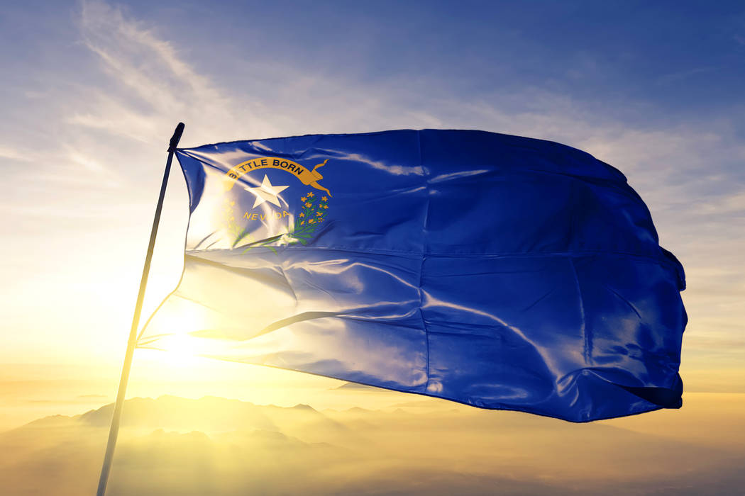
Oct. 31 is officially Nevada Day, when the Battle Born State became the 36th to join the Union, in 1864.
Ely
Who knew three letters could be so finicky?
The town of “EE-lee” is the county seat in White Pine County and has an estimated 2018 population of 3,944, per the census.
It was founded as a stagecoach station and later became a mining town when copper was discovered nearby in 1906.
Beowawe
A Paiute word loosely translated to “gate,” the tiny town sits along the Humboldt River and state Route 306 in Eureka County in Northern Nevada.
“Bay-oh-WAH-wee” is located six miles south of Interstate 80 and features a geothermal power plant, a mining operation and an elementary school.
Owyhee
The census-designated place is pronounced “oh-WAH-hee” and it’s located just four miles south of the Nevada-Idaho border.
It’s the biggest town in the Shoshone-Pauite tribe’s Duck Valley Indian Reservation, which splits between Idaho and Nevada. It has a population of roughly 1,000 people, as of the 2010 census.
According to the tribe’s website, tribal membership is more than 2,000 and about 1,700 people live on the reservation.
Hiko
“HIKE-oh” is a small community in Lincoln County that sits just north of the U.S. Highway 93 junction with state Route 375, aka the Extraterrestrial Highway. It’s a census-designated place with an estimated 46 “housing units.”
It briefly served as the county seat beginning in 1867 until surrendering the title to Pioche (pee-OACH) in 1871.
Moapa
Situated in the northeast part of Clark County halfway between Las Vegas and St. George, Utah, about 1,000 people call “mo-AP-uh” home, per the 2010 census.
The Pueblos inhabited Moapa Valley until about 1150 A.D. and the Paiutes have lived there since then, according to the Moapa Valley Chamber of Commerce. The Moapa Band of Paiutes have a reservation in the valley.
Mormons settled along the Muddy River starting in the 1860s, establishing what would eventually become St. Thomas, now a ghost town, in 1865.
Cortez
“CORT-us,” like many of Nevada’s ghost towns, began as a mining town near Mount Tenabo in Lander County after gold was discovered in 1862.
It’s named for the Spanish conquistador Hernán Cortés and remains an active gold mine.
Mina
Found along U.S. Highway 95 in Mineral County, “MINE-uh” was founded as a railroad town at the beginning of the 20th century.
It’s a census-designated place with a population of 155, according to the 2010 census.
Verdi
“VUR-dye” gets its name from Italian composer Giuseppe Verdi. It’s located in Washoe County on the border with California and sits in the shadow of Verdi Peak.
Verdi was previously known as “O’Neil’s Crossing” and features a population of about 1,400, according to the 2010 census.
Contact Mike Shoro at mshoro@reviewjournal.com or 702-387-5290. Follow @mike_shoro on Twitter.


